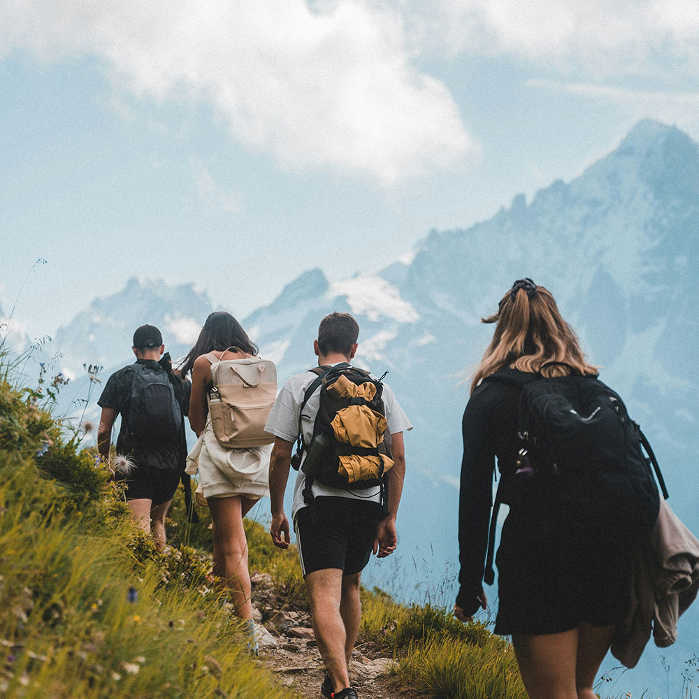
Arrowtown is an outdoor enthusiast’s dream with a range of terrain offering stunning views for those who don their walking or hiking shoes and get amongst it.
The trail network around Arrowtown goes into the spectacular backcountry, through beech forests, beside rivers and lakes, to the very tops of the mountains. In just half an hour you can go from the town centre up to a breathtaking panorama or deep into native forest surrounded by birdlife and meandering streams.
Outlined below are eight of what we think are the best walks and hikes in Arrowtown, organised from easiest to hardest. From the leisurely Millennium Trail to Sawpit, choose one of these walks during your stay in Arrowtown and take in the fresh alpine air.
- Arrowtown Chinese Settlement
On the banks of Bush Creek in the north-eastern end of Arrowtown are the remains of the Chinese settlement from the gold rush. This village stayed settled until 1928, and its partially restored huts and Ah Lum’s store can be seen up close and there are also interpretation panels to learn more about this important part of Arrowtown’s history.
The main path is suitable for families, wheelchairs and prams/buggies and the area can be explored at your own pace year-round. For those who wish to venture further, the Settlement is close to other popular walking tracks like Bush Creek Track and Sawpit Gully.
Duration: At your own pace but can be as short as 5 minutes
Difficulty: Easy (suitable for families, sturdy prams/buggies, wheelchairs)
Starting point: Arrowtown Chinese Settlement, across from Butler’s Green
- Arrowtown Millennium Trail
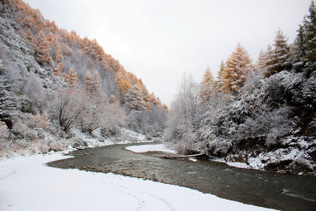
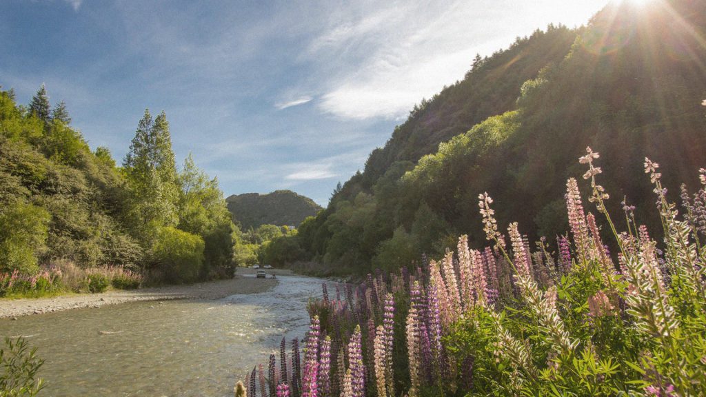
The Arrowtown Millennium Trail is a wide, easy all-seasons walk along the banks of the Arrow River and was established in 1998 to commemorate 150 years of European settlement in Otago. Many locals do this walk as a loop between the two green bridges and you will also find bikers and runners out enjoying the trail.
The trail can be accessed from the centre of Arrowtown by the skate park or from the bottom of Ford Street at the base of Tobins Track. Cross the bridge at the base of Tobins Track and take in the scenery and sounds of the river as you walk down to the second bridge before making your way back towards Arrowtown.
The Millennium Trail is part of the Arrow River Bridges Trail, and connects to the Countryside Trail at Arrowtown (towards Lower Shotover and Frankton) and the Gibbston River Trail (towards Gibbston).
Duration: 1 hour 30 min return
Difficulty: Easy (suitable for families, sturdy prams/buggies, dogs on leash)
Starting point: Arrowtown Skate Park or the bridge at the base of Tobins Track
- Bush Creek
The Bush Creek Track is a gentle walk along Bush Creek, a tributary of the Arrow River. The path begins at the Arrowtown Chinese Settlement and leads to the town’s old water supply intake.
Cross over Bush Creek and turn left to follow the dirt road west beside the irrigation pipe. After about five minutes, step over the irrigation pipe onto the gently winding Bush Creek Track. At the junction with the Big Hill Track, continue along the creek to a waterfall and the old water supply intake. Catch glimpses of old stone walls from the mining days as you venture along the track.
Bush Creek Track has been recently upgraded and continues steeply up the valley through beech forest and open grassland to the saddle. The saddle offers breathtaking views of the Whakatipu Basin. Go as far as you like and then retrace your steps back to Arrowtown. If you are equipped and fit enough, you can continue on to do the Coronet Loop.
Duration: 1 hour 30 min one way
Difficulty: Moderate (suitable for dogs on leash)
Starting point: Arrowtown Chinese Settlement
- Tobins Track
Tobins Track is a short steep jaunt up the hillside to the Crown Terrace. The track is a dirt road which was built by Thomas Tobin as an access track to Wānaka. It is now a favourite for local walkers, runners and bikers of all ages and from time to time you will also see 4WDs navigating the river ford and the rocky incline. Cross the bridge at the bottom of Ford Street and follow the track up the hill. On your way you will be rewarded with spectacular views of Arrowtown, Dalefield and the wider Whakatipu surrounds. At the top of Tobins Track is a trig station and two seats provided by the Stevenson family for walkers to enjoy the view and rest awhile.
If you want to make your journey longer, you can tack on New Chums Gully which is accessed halfway up Tobins, or you can venture on and explore Mount Beetham.
Duration: 30 min one way
Difficulty: Moderate (suitable for dogs on leash)
Starting point: The carpark at the bottom of Ford Street or the first green bridge
- Mount Beetham
Mount Beetham offers amazing 360° views of the Whakatipu basin and is worth the effort for the view. The ascent starts at the top of Arrowtown’s most beloved tracks, Tobins Track.
When you reach the Tobin’s Track lookout keep following the dirt road around the corner until you find signs to a poled 250m route up a cone-shaped peak. If you enjoyed the views from Tobins, just wait until you see the views from Mt Beetham!
Duration: 30-45 minutes return
Difficulty: Moderate
Starting point: The top of Tobin’s Peak
- Sawpit Gully
Sawpit Gully is a local favourite hike which gets the heart going. The 7km loop walk ventures up steep inclines and descents, rock hopping through a creek, and a traverse high above the Arrow River.
The loop is easier if you do it anti-clockwise, via the Arrow River Trail and then finishing at Bush Creek. The walk requires reasonable fitness and good shoes with grip as it can get muddy and slippery after rainfall.
To access Sawpit Gully, cross the footbridge near the Chinese Settlement and follow the Arrow River Trail to the Sawpit Gully turnoff. You will also see signs at this fork for Macetown but follow the Arrow Gorge Track along the pipeline. As you walk, you will pass reminders from gold rush days, including a stone miner’s hut on a grassy terrace. Up the hill you will meet the Big Hill Track at Eichardts Flat and walk back down towards Arrowtown with sweeping views over Lake Hayes and the Whakatipu basin.
Duration: 2-3 hours
Difficulty: Moderate (suitable for dogs on leash)
Starting point: Footbridge near the Arrowtown Chinese Settlement
- New Chums Gully
New Chums Track crosses Glencoe Station and links Tobins Track with the Arrow River Trail. This scenic loop is longer and more challenging than the Sawpit Gully loop and can be walked in either direction.
Head up Tobins Track until you see the orange marker and gate indicating the start of New Chum Track. This is a poled route (orange markers) and follows the ridgeline of Glencoe Station before descending into gullies and streams. This gully was well mined during the gold rush and evidence of sluicing and the remains of water races still exist.
The exit point is by the Norman Smith Bridge on the Macetown trail. Cross the bridge and walk alongside the irrigation pipe trail back to the town centre. You can also combine this track with the western side of the Sawpit Gully walk to make a longer loop.
Duration: 3 hours
Difficulty: Moderate/Advanced
Starting point: Halfway up Tobins Track
- Miners Trail
The Miners Trail is a 15km epic loop which traverses several of Arrowtown’s trails and is used for the annual Motatapu Off Road Event. Keen walkers and runners enjoy the challenge of Miner’s and its journey through farm roads, back-country, rivers, and short sections of steep ascent and descent.
The trail forms a loop, starting up Tobins Track, skirting Mt Beetham, and heading up to Bracken Saddle and a high point of 1047m with a stunning view of the Whakatipu basin. The trail narrows to a single track as it cuts across the top of the mountain and tracks down through New Chum Gully and then back down Tobins to the Arrow River. You will need time, energy, experience and good gear for this one.
Duration: 3 hours
Difficulty: Advanced
Starting point: The bottom of Tobins Track
Want more inspiration? Take a look at our Walking page.
Author: whitelawmitchell